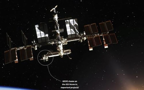
GEDI's Not-So-Final Frontier
The Global Ecosystem Dynamics Investigation instrument will cease data collection in January but not before fueling significant projects
Professor Ralph Dubayah of the Department of Geographical Sciences (GEOG) knew that if he could put a first-of-its-kind instrument into space to measure forests in 3D using a laser measurement method called Light Detection and Ranging (lidar), that project would advance important research.
He was right. Since the Global Ecosystem Dynamics Investigation (GEDI) instrument’s launch in December 2018, multiple researchers in GEOG have used its highly accurate forest height, structure, and surface elevation data in their own projects. These projects have focused on measuring and mitigating the impacts of climate change around the world, and in Maryland.
“You work so hard—so many late nights and so much stress to put an instrument into space and then create the data products—to see other scientists in your department able to utilize them to benefit their own research is fantastic. It makes it all worthwhile,” Dubayah said.
With GEDI now in its last year of data collection, we checked in with five GEDI mission team members to see how their research is addressing some of today’s greatest environmental challenges.
Read the full article at the College of Behavioral and Social Sciences.
Learn more about the effort to extend GEDI's life here.
Published on Tue, 04/26/2022 - 15:10


