Prospective Students
About Anthropology
Anthropology is a scientific and humanistic discipline devoted to improving our understanding of human culture and diversity. Anthropologists are holistic in that they endeavor to describe in the broadest sense what it means to be human. This includes exploring relationships between the human past and the present as well as between the biological and social components of our species. Anthropology is the study of people—their origins, adaptations and ecology, distribution, customs, languages, and social and religious beliefs.
The Anthropology Department maintains a strong focus on the practical uses and applications of anthropological knowledge, and faculty members and alumni have played important roles in the development of the field of applied anthropology. Faculty applied interests in such areas as the environment, health, and heritage are reflected in both undergraduate and graduate course offerings.
A strong background in anthropology is an asset in preparing for a variety of careers and professional opportunities. The faculty at the University of Maryland’s Department of Anthropology is uniquely qualified to provide undergraduate majors with advice and assistance related to both their academic and career interests. The undergraduate program also provides a variety of study abroad experiences, summer field schools, and internship opportunities—all of which can contribute significantly to a student’s understanding of the discipline.
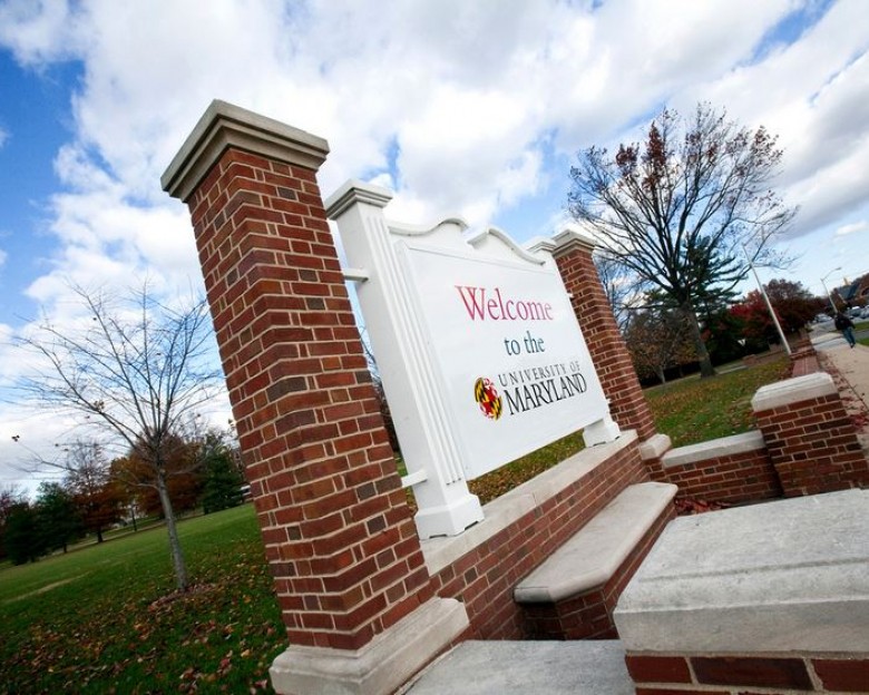
The Department of Anthropology is part of the University of Maryland’s College of Behavioral and Social Sciences. We are centrally located in Woods Hall, between McKeldin Library and the Main Administration Building.
Read this US News report discussing the unique perspective anthropologists bring to the market and what the current market looks like for anthropology careers.
Check out this Business Insider article on why companies are interested in hiring anthropologists and seeking their cultural expertise.
Check out this Marketplace Morning Report on NPR discussing how Fortune 500 companies are the largest employers of Anthropologists worldwide.
Undergraduate Student Experiences
Class of 2022
Anthropology & Government and Politics (IR Concentration)
Environmental Focus
Minor in Latin American Studies
I grew up in between six different countries and four continents, so when it came time to choose a major, anthropology and international relations were the ones that stood out to me the most. I wanted to understand the sociocultural contexts I experienced throughout my life and how they play out in the international arena. How does foreign policy impact the lives of individuals around the world? At the same time, I became increasingly concerned about the way climate change was directly affecting countries that I love and have come to call my homes. Tornados and surge storm floods in Mozambique, hurricanes in Central America, and increasingly extreme climates in Tajikistan. Some of my most formative classes have been the anthropology of health and migrants, the anthropology of human rights, evolutionary and ecological anthropology, and methods and theory in ecological anthropology. These classes have all helped me further understand the way political and environmental contexts are impacting human rights and human lives around the world. I chose to focus on Latin America because I am a Guatemalan citizen, I speak Spanish, Portuguese, and French, and want to further understand the region I am from and how I can contribute in some meaningful way to my community.

Class of 2023
Environmental Science and Sociology
Environmental Focus
Minor in Spanish
I transferred into the Culture & the Environment (Anthropology) concentration within Environmental Science during my third semester. The most influential anthropology class has been ANTH360 (Method and Theory in Sociocultural Anthropology) with Dr. Lopez because it gave context as to the birth and development of the field and how we can detangle it from oppressive systems going forward. The class I have most enjoyed is ANTH222 (Introduction to Ecological and Evolutionary Anthropology) with Dr. Shaffer in which I specifically liked working hands-on with skulls from different species and seeing their resemblances to (and differences from) modern human skulls. I am excited to TA for this class for Fall 2023! Additionally, I work as a Bilingual Interpretive Outreach Assistant with Chesapeake Conservancy in partnership with the National Parks Service, Chesapeake Bay Office. Here I help connect Spanish-speaking communities with the Chesapeake Bay by translating and creating resources in Spanish. After graduation I hope to stay in this position and continue working towards diversity and inclusion in the environmental field.