Workshop on Emerging Technologies and Methods in Earth Observation for Agricultural Monitoring
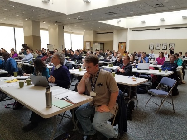
Members of Department of Geographical Sciences (Alona Bunning, Dr. Chris Justice) played a lead role in organizing the recent Emerging Technologies and Methods in Earth Observation for Agricultural Monitoring Workshop held at the USDA National Agricultural Library in Beltsville. This was a joint workshop sponsored by the Department’s Earth Observations for Food Security & Agriculture Consortium (EOFSAC), a new NASA-sponsored program led by the Department of Geographical Sciences, as well as Agriculture and Agri-Food Canada (AAFC), the United States Department of Agriculture (USDA), and North American Tripartite Committee on Agricultural Statistics (NATCAS). Over 90 people attended the meeting, including a number of consortium partners and collaborators.
EOFSAC members, including those from the Department had a strong presence among the nearly 50 presentations that were given over the course of the three-day workshop. Dr. Chris Justice, Chair of the Department, opened the meeting outlining the objectives of the workshop, and helped draw discussion towards the need to address gaps in data and the ability of emerging technologies to advance these requirements. Dr. Matt Hansen of the Department of Geography’s Global Land Discovery & Analysis (GLAD) group discussed land cover change and crop area estimation using satellite imagery that directs field-based data collection decisions.
Dr. Ritvik Sahajpal identified the importance of the automated crop condition assessment (ACCA) system, the need for data, and the ways that crop condition monitoring through consensus building has developed under the AMIS and Early Warning crop monitors. His Department colleagues on this project include Inbal Becker-Reshef (the PI for the EOFSAC), Brian Barker, Joanne Hall, Andres Artigas, Estefania Puricelli, Mike Humber, and Jie Zhang.
Dr. Belen Franch presented a new method of wheat yield estimation through coarse resolution imagery and Dr. Sergii Skakun discussed the combined use of Landsat-8 and Sentinel-2 data for improved resolution and greater temporal agricultural monitoring, also for winter wheat. Dr. Franch and Dr. Skakun work closely with Dr. Eric Vermote (Adjunct Professor), and Dr. Jean-Claude Roger based at NASA -GSFC developing satellite-based yield forecasting.
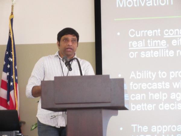
Dr. Prasad Bandaru, presented research developed by several Department colleagues (Curtis Jones, Cesar Izaurralde), combining process-based crop models and satellite data into an integrated seasonal crop forecasting system. This provides regular real-time and early crop condition forecasts, using combined information from the EPIC (Environmental Policy Integrated Climate) model, as well as NOAA weather forecasts and NASA satellite data.
Read more and view all presentations at the EOFSAC Event Page for the workshop.


Published on Thu, 02/22/2018 - 08:31


