UMD Grand Challenges Student Scientist Competition
When we talk about climate change, our minds often conjure images of melting ice caps and hungry polar bears stranded on floating sea ice. We envision raging fires, hurricanes pounding island nations, catastrophic flooding and extreme heat. What we rarely consider, however, is the impact on our own backyard — Maryland agriculture.
Yet, we know that the climate is changing in every corner of the globe, including in Maryland. The U.S. Environmental Agency (US EPA) highlights rising temperatures, heavier rainfalls and higher water levels, leading to more frequent flooding, beach erosion, ecosystem disruption and aquifer salinization,among other issues. These impacts are projected to have ripple effects across all industries, particularly one that many Marylanders come in contact with on a daily basis - agriculture.
Did you know that over a quarter of Maryland consists of croplands, and agriculture is the largest commercial industry in the state? Did you also know that agriculture is one of the most vulnerable sectors to the impacts of climate change? Well, now you know, and you can do something about it.
As one of the three Grand Challenges Institutional Grants supported by the University of Maryland, our project “Addressing Climate Change for a Sustainable Earth” brings together experts in Earth system science to assist decision-makers in Maryland in managing resources amidst a changing climate. Our team aims to provide information to Maryland state agencies and individual farmers to make our agriculture climate-resilient.
While we are not policymakers, we excel at delivering the most accurate and timely information to aid decision-makers. We would love to leverage our resources and expertise to address climate change as a community. So now, we need your help. This challenge aims to engage citizen scientists in collecting essential data to make our maps accurate.
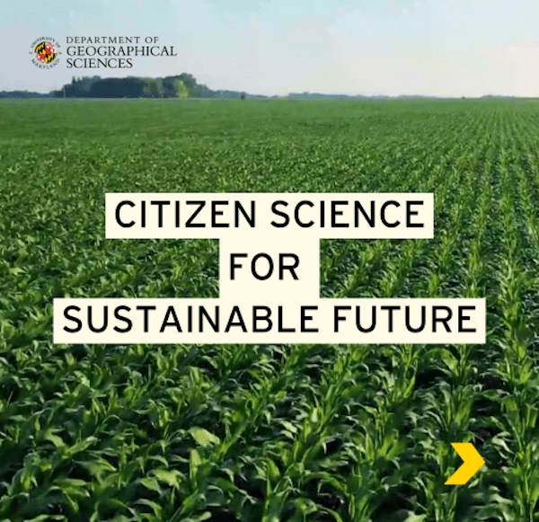
We extract information about crops and their conditions from satellite imagery, but to ensure the accuracy of our maps, we require a substantial number of quality ground samples to train our algorithms. We Invite you to join us as citizen scientists in collecting representative samples of Maryland croplands in various conditions.
There are two ways you can participate:
- If you like exploring and moving around, use our mobile tool to collect samples.
- If you prefer to work from your computer, you can assist by using our online system to gather field boundaries and confirm entries.
To make it even more fun, we’ve turned this into a competition with prizes for the top collectors. We will also maintain a leaderboard for bragging rights. Additionally, in participating courses, you can earn up to 5% extra credit to boost your grade. Most importantly, by contributing to this effort, we’ll create the most accurate crop map possible, enabling Maryland to tackle the local impacts of climate change more effectively —and that’s worth a lot.
Detailed instructions and rules
Watch this video on how to play:
{"preview_thumbnail":"/sites/geog.umd.edu/files/styles/video_embed_wysiwyg_preview/public/video_thumbnails/P90QcGw5CmQ.jpg?itok=dGJj6NAq","video_url":"https://youtu.be/P90QcGw5CmQ","settings":{"responsive":1,"width":"854","height":"480","autoplay":0},"settings_summary":["Embedded Video (Responsive)."]}
Published on Thu, 02/22/2024 - 10:13


