Mapping Sea Ice Surface Topography in High Fidelity with ICESat-2
Dr. Sinead Farrell [GEOG Associate Professor] recently published a paper in the Geophysical Research Letters (GRL) - ICESat-2 Special Issue focused on using new technologies to measure the impacts of climate change on the environment.
One of the most striking environmental changes underway in the Earth system is the disappearance of the Arctic sea ice cover. Anomalously warm weather in the Arctic in 2020 caused sea ice to retreat to its second-lowest extent in the modern record, a record derived from over 40 years of satellite observations.

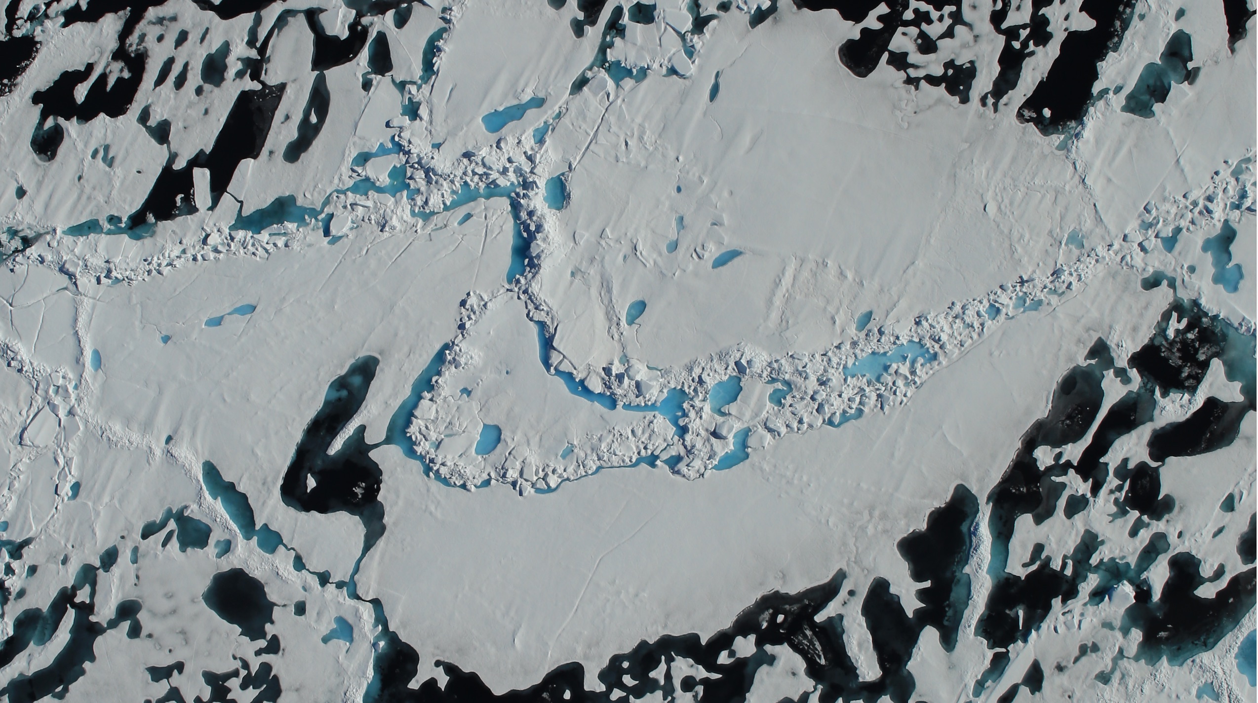
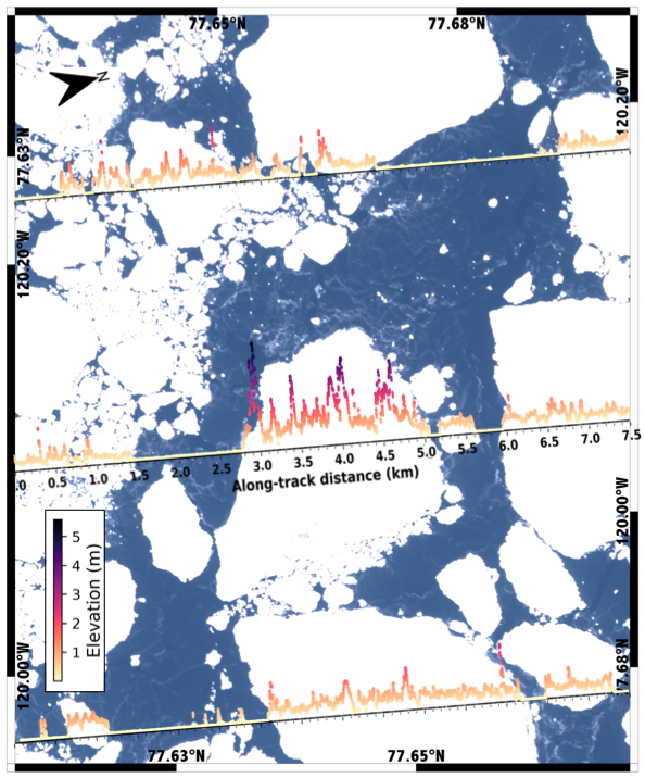
Scientists at the University of Maryland have demonstrated that NASA’s ICESat-2 satellite provides a new remote-sensing capability to measure the complex sea ice surface, at meter-scale resolution. Detailed measurements of the sea ice cover provide us with a better understanding of the physical processes shaping the ice cover and offer insights about its vulnerability to further decline. Researchers, including and graduate students at the University of Maryland, used measurements from ICESat-2 to derive a suite of important sea ice properties related to the drift, melt and growth of the ice cover. They discovered that ICESat-2 is capable of measuring the smallest features on the ice cover, including narrow pressure ridges and cracks in the ice just 10 m wide, and small sea ice floes just 20 m across. The team revealed that ICESat-2 has the ability to identify individual melt ponds on multiyear sea ice in summer, that were less than 1 m deep, on average. This marks the first time that the depth of summer melt ponds on sea ice have been measured using a space-based altimeter instrument.
Next the team hope to use ICESat-2 observations together the field measurements to investigate time-varying sea ice processes. Results from this work will help to improve sea ice models used to predict the future of the Arctic ice cover.

Published on Tue, 10/20/2020 - 13:13

