Grant proposal to the NASA LCLUC program led by Dr. Tyukavina selected for funding
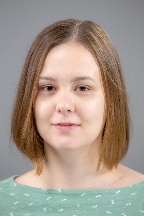
The team from the University of Maryland Global Land Analysis and Discovery (GLAD) lab, Universite catholique de Louvain (Belgium) and Imazon (Brazil) led by the UMD GEOG Assistant Research Professor Alexandra (Sasha) Tyukavina responded to the NASA Land Cover/Land Use Change Program's Research Opportunities in Space and Earth Science (ROSES-2020) solicitation with the research proposal entitled "Multi-Resolution Quantification and Driver Assessment of Hot Spots of Global Forest Disturbance". The project, which is Dr. Tyukavina's first research effort as a Principal Investigator, was recently selected for funding.
Dr. Tyukavina and the team aim to improve quantitative understanding of the global hotspots of forest loss, including deforestation, forest rotation and degradation. The project will establish a baseline for global high-resolution sample-based monitoring of forest loss hotspots utilizing medium-resolution (30m) satellite data from Landsat satellites to target the hotspots for the year 2018. Medium-high resolution (10m) data from Sentinel-2 satellites and high resolution (4m) PlanetScope imagery will be used as primary sources of reference data to quantify 2018 extent of forest loss and estimate proportions of direct drivers of disturbances in various forest types for a global sample of 5x5 km blocks. The team will re-assess the sample using high resolution data collected in 2022 to establish post-disturbance land cover and land use at the beginning of 2023, five years after the baseline year. Both will be probability-based assessments, with the loss mapping performed using machine learning mapping algorithms in order to do per pixel per sample analysis and between-sensor (PlanetScope vs. Sentinel 2) intercomparisons. The from-to forest type, change factor and land use outcome attribution will be performed using expert visual interpretation.
Resulting forest loss area and driver proportion estimates for the baseline year, along with land cover and land use five years after the disturbance, will be reported globally and separately for climate domains, continents and high forest disturbance countries. The higher image acquisition frequencies and higher spatial resolutions of Planet and Sentinel 2 data make them robust sources of reference data. The additional spectral bandwidths and higher radiometric performance of Sentinel 2 provide significant advantages over Landsat in characterizing forest change dynamics. PlanetScope imagery offers additional advantages of even higher temporal and spatial detail, despite a comparatively weaker set of bandwidths and radiometric calibration. Reference sample datasets from Sentinel 2 and PlanetScope produced in this study will be an asset to the Land Cover/Land Use Change science community for model training and map validation. The project also aims to quantify carbon implications of the observed forest loss driver proportions and post-disturbance land covers.

Published on Wed, 10/21/2020 - 15:29


