CGIS COVID-19 Map Featured in UMD's #ShellsUnited Video
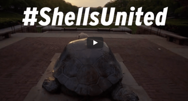
The Center for Geospatial Information Science (CGIS) has continued to move forward in its research and advancements even as faculty and students work remotely. One of the maps created by our faculty and students to track the spread of COVID-19 in the U.S. was featured in the University's newly released video #ShellsUnited. More information can be found in Maryland Today's article "New Rallying Cry: Shells United." The video below showcases what it means to be a terrapin: whether we're on campus or working remote, we will continue to have Fearless Ideas.
{"preview_thumbnail":"/sites/geog.umd.edu/files/styles/video_embed_wysiwyg_preview/public/video_thumbnails/VUePGFGTno0.jpg?itok=JCn_34Is","video_url":"https://youtu.be/VUePGFGTno0","settings":{"responsive":1,"width":"854","height":"480","autoplay":0},"settings_summary":["Embedded Video (Responsive)."]}
Published on Wed, 04/08/2020 - 10:41


