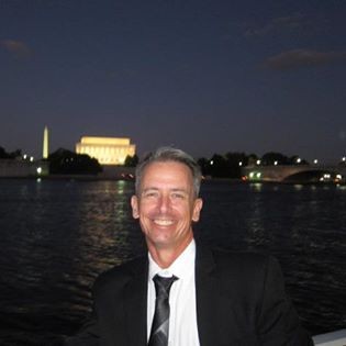
Rountree, William
Bio
William has been a Faculty Specialist at the University of Maryland, Department of Geographical Sciences and the Biosphere Science Branch, NASA Goddard Space Flight Center, Greenbelt, Maryland from June 2018. He acquired a set of diverse and transferable skills and trades and is able to adapt to any environment from a computer station to the top of communications towers, an aircraft carrier, to the most advanced aerospace platform today, the F-35 and currently designing prototypes to validate satellite imagery.
William received awards for Innovative tool design and implementation for Lockheed Martin Aeronautics Corporation, a top Fortune 500 company, contributing to significant time and cost savings in his position as a highly experienced Aircraft Inspector and Maintenance Supervisor. He is a motivated team builder with a proactive approach, commitment to making a positive difference and tremendous ability to impact others. He championed and led early implementation of the Culture of Accountability® (CoA) program through positive team engagement and ability to stay focused and moving forward. This contributed to a working environment that promotes growth in performance and builds strong working relationships, for which he was officially recognized by senior management. He was selected as key member and participated in four Sea Trials for F-35B and C models aboard USS Wasp, USS Nimitz, USS Eisenhower, and USS America with Lockheed Martin Aeronautics Corporation and was featured in “Aircraft Carrier: Guardians of the Sea” Documentary.
He is retired USAF Non-commissioned officer and was selected to the USAF Thunderbirds, USAF William Tell and Top Gun launch teams.
William is currently working with a team of GEOG researchers (S.Skakun, A. Santamaria Artigas, J.-C. Roger) in collaboration with NASA GSFC (E. F. Vermote) on designing, fabricating and implementing automated prototypes to capture terrestrial images to validate satellite imagery from Landsat-8 and Sentinel-2. Some of the early results are published in a paper on "An experimental sky-image-derived cloud validation dataset for Sentinel-2 and Landsat 8 satellites over NASA GSFC" in International Journal of Applied Earth Observation and Geoinformation (5-Year Impact Factor: 5.391).
Degrees
-
Areas of Interest
- Satellite Remote Sensing (LANDSAT-8, Sentinel-2)
- Land surface characterization using atmospheric corrections of land areas
- Agriculture (crop detection and yield estimation)
- Satellite CAL/VAL exercises (satellite calibration, satellite product validation)
- Modelling & Parametrization
- Field campaigns
- Instrument development


