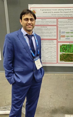
Qadir, Abdul
Bio
I am a Geospatial Data Scientist and Future Investigators in NASA Earth and Space Science and Technology (FINESST) fellow. I utilize statistical and machine learning-based methods to extract insights from remote sensing data. I construct pipelines that deliver metrics from Synthetic Aperture Radar (SAR) and other satellite imagery. Additionally, I utilize causal inference to assess the impact of climate and human-induced changes on agriculture and natural resources. My objective is to assist decision-makers and the scientific community in formulating informed policies pertaining to natural resource management particularly for vulnerable communities affected by climate change and related food security concerns.
Degrees
Geographical Sciences, University of Maryland, College Park - PhD
Geospatial Data Science, University of Delaware - MS
-
Areas of Interest
- Synthetic Aperture Radar (SAR)
- Crop monitoring
- Machine Learning
- Time series analysis


