Computational Earth Observation Science
Computational Earth Observation Science
Geographical Sciences: Computational Earth Observation Science allows students to explore the analytical capabilities offered by current Earth-observing satellite missions, including the different types of information collected by various satellites and how this information is analyzed to solve important environmental and societal problems. Students will learn the methods that are used to extract meaningful information from satellite images including mapping different land covers such as forests, cropland, or water, and monitoring environmental change over time.
Students will learn to apply statistical techniques, machine and deep learning algorithms to spatial data and will develop the necessary computer programming skills to handle big data analytics to support satellite image analysis. These technical skills will be developed alongside the fundamental understanding of environmental processes and human society to tackle a variety of pressing global, regional, and local issues including sea and continental ice loss and ocean warming, forest management and loss, wildfire impacts and prevention, urban growth and its consequences, crop monitoring and food security, and environmental degradation and health outcomes, among others.
These students will be the next generation of professionals that will support the integration of satellite monitoring into private and public operational and research agencies to support building a better and more sustainable world.
Admission to the Program
If you are interested in joining the program, please schedule an appointment with a Geographical Sciences Advisor. For a full major curriculum sheet with specific course requirements, please see our Curriculum Guides & Advising Forms page.
Laura Duncanson (second from left, UMD) and Dr. Matt Hansen (third from left,
UMD) at the launch of the Landsat 9 satellite. Image source: Twitter
@GEDI_Knights.

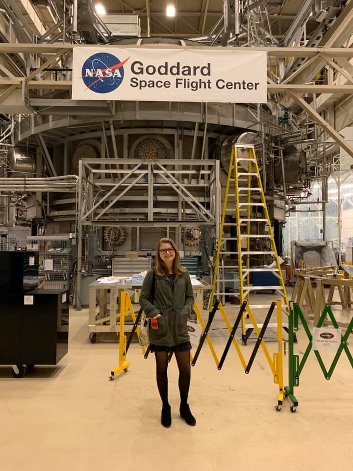
Goddard Space Flight Center

